
Hi,
I have been trying to align the HD map with satellite imagery from Google. I went through this post (https://github.com/nutonomy/nuscenes-devkit/issues/144), and aligned HD map from nuScenes with terrain mode of Google Earth.
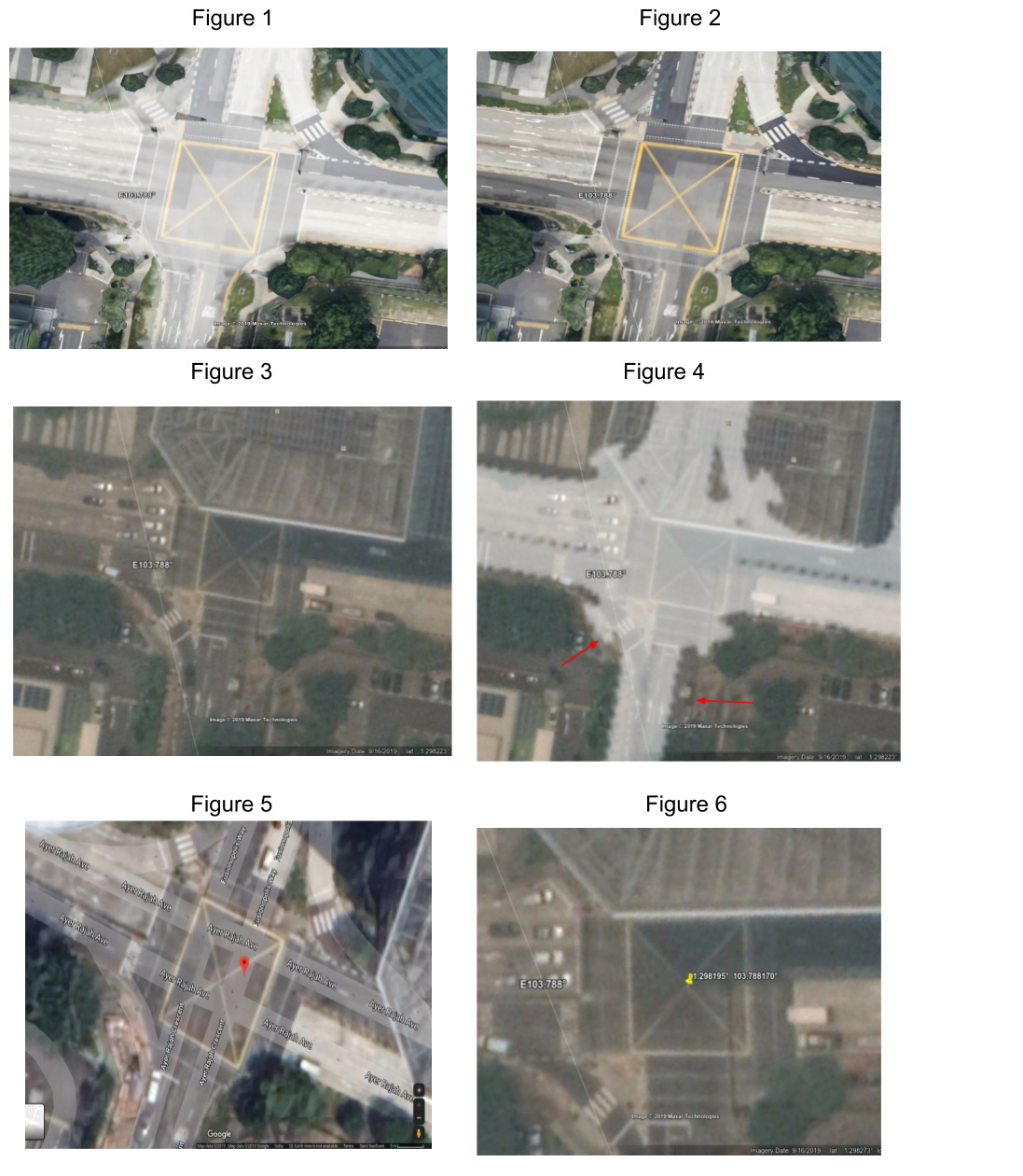
Figure 1: HD map overlay on terrain mode of Google Earth
Figure 2: Terrain mode of Google Earth
However, when I switched to satellite mode of Google Earth, the alignment was lost.
Figure 3: Satellite mode of Google Earth
Figure 4: HD map overlay on satellite mode of Google Earth (Red arrows indicate some areas of misalignment)
I tried to align by hand, the HD map with satellite mode of Google Earth, through scaling and translation. However this was not possible, as aligning in certain part of the map, caused misalignments in other parts of the map.
My eventual goal is to align HD map with satellite imagery from Google Maps. The satellite imagery source for Google Earth and Google Maps are different, meaning that the satellite imagery from these two places themselves, have a misalignment of ~5 meters or greater.
Figure 5: Point ‘A’ marked on satellite imagery from Google Earth
Figure 6: Same point ‘A’ marked on satellite imagery from Google Maps
You can see that the point ‘A’ is exactly at the center of the intersection in Google Earth, whereas the point ‘A’ is not at the center of the intersection in Google Earth. You can also notice that the satellite imagery used between the two are different.
This means that, even if I align HD map with satellite imagery from Google Earth (manually with hand), this alignment wouldn’t work for satellite imagery from Google Maps.
I have been trying to get this work for a week, but in vain.
It would great to know
- If you have tried aligning HD maps with satellite imagery and what was the source (Google or Bing or anything else)?
- The date of the satellite imagery used by you
- Is there any other method that I could use to align
- Any other thoughts on this issue
Thanks in advance.