Is Lidar point part of a certain layer?

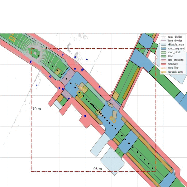
I’m trying to figure out, if a certain 3D-Point is part of a certain non-geometric layer (e.g drivable_area).

With nusc_map.record_on_point() I can check this for a pixel on the map. This pixel gives the distance to the origin of the map while the lidar points are given in the sensor coordinate system. Is this correct?

How can I align the x-&y-coordinate from a lidar point with the record_on_point() function?

Thanks for your help!

Take a look at the highlighted lines here: https://github.com/nutonomy/nuscenes-devkit/blob/master/python-sdk/nuscenes/nuscenes.py#L541-L550
These show you how to transform a sample_data (e.g. lidar) from sensor coordinate frame into global coordinates.

Thanks for the fast and helpful answer!

Are my global lidar coordinates now ready for the record_on_point() function?
In other words: Is the origin of the global coordinate system the origin of the map?

Hi Jaggamo,

It seems the map and the global coordinate system have the same origin, I’ve tried it and got below results, please let me know if you like me to share the code

Yes, generally speaking they are.