How to convert LiDAR points from global coordinate frame to EGO-frame?

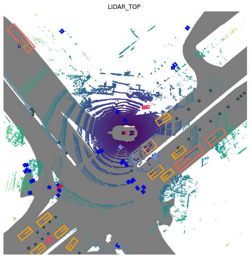
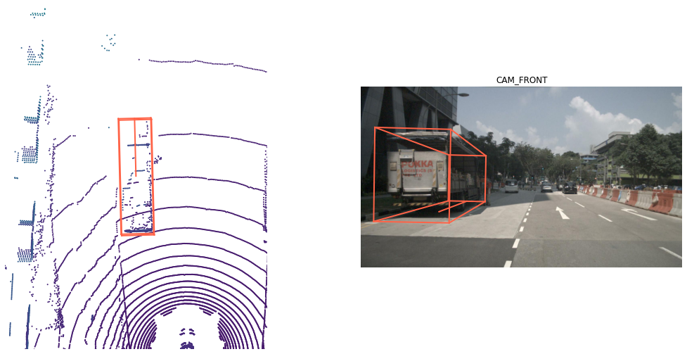
Hello, I know that the LiDAR points are expressed in the global coordinate frame. However, I was wondering if there is any implementation to convert the coordinates to the EGO-frame to generate bird’s eye view images.
Could you please guide me in the right direction?

Thanks and regards,

Hi. While annotations are in the global frame, lidar points are in the lidar frame. Please take a look at our tutorial. We have several functions to render lidar in a birds-eye view:

All of them are in https://github.com/nutonomy/nuscenes-devkit/blob/master/python-sdk/nuscenes/nuscenes.py, so just look around there.

1 Like