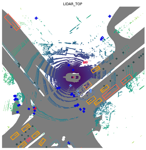
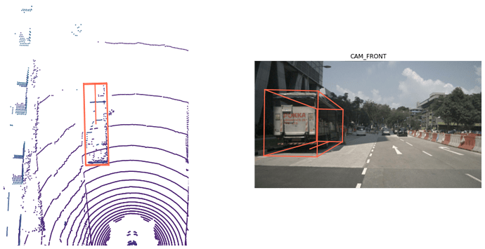
Hello, I know that the LiDAR points are expressed in the global coordinate frame. However, I was wondering if there is any implementation to convert the coordinates to the EGO-frame to generate bird’s eye view images.
Could you please guide me in the right direction?
Thanks and regards,


